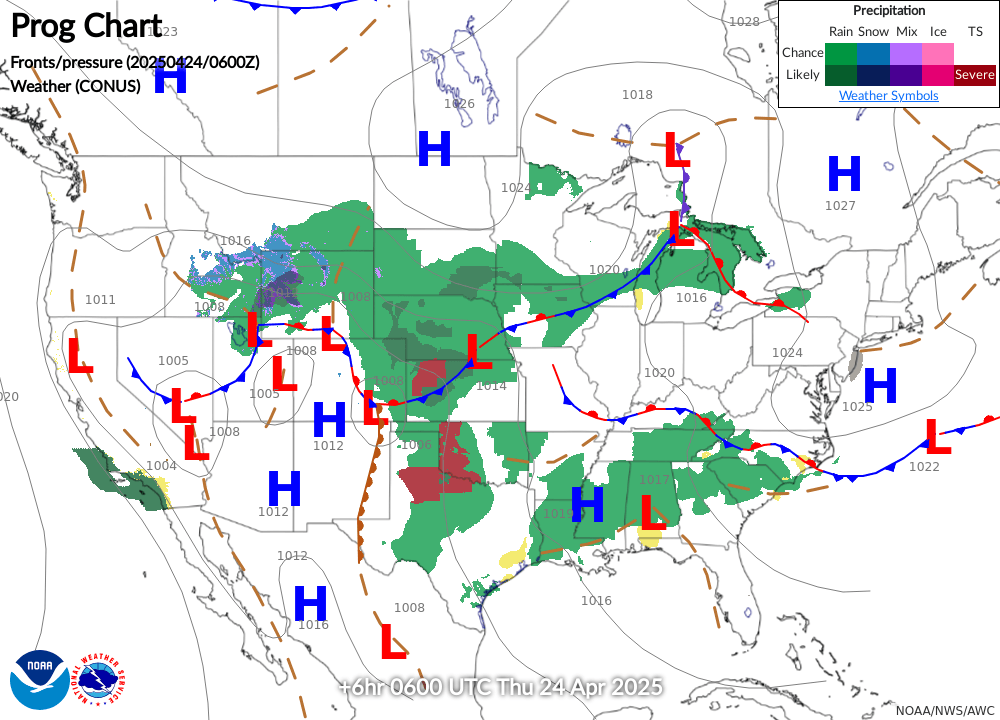


Prognostic Charts are issued by the National Weather Service on a regular basis, with progressive forecasts in 12-hour segments for the following 48 hours. Prog charts are a useful tool when planning cross-country flights, but pilots flying locally can also benefit by seeing how the weather is expected to develop over the next two days.
To visit the Aviation Weather Center's online Prognostic Chart page, click here. The current national surface observation chart is below.